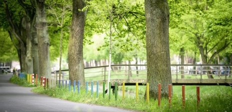
Wander through the Bürgerpark and Municipal Forest
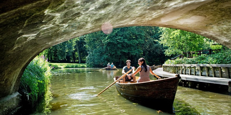
© WFB Wirtschaftsförderung Bremen GmbH/T. Vankann
Bremen city centre is a great place for walking. We have designed a varied multi-section tour with ample opportunity for refreshments or for children to play, making it ideal even for families or for those who are less fit. It runs through the Bürgerpark and the adjacent municipal forest (Stadtwald), which together form the green heart of Bremen, and is about 12 kilometres in length overall.
If you would like to join a group, we would recommend you contact the walking club in Bremen (Wanderverein Bremen), which regularly organises walks through the Bürgerpark.
Distance: approx. 12 km
Gpx data: Komoot or Wandermap
Finding Your Way
The park covers an area of more than two hectares and it is quite easy to get lost if you don't have a map. GPS data and a way to print the tour can be found on the Komoot and Wandermap platforms. In the park itself, however, there are information panels with rough maps to help visitors get their bearings. Plans featuring other interesting information can also be found at various points. The Bürgerpark map is available to download. However, it does not show all of the small paths that we have selected. To plan your walk, we would also recommend the map on OpenStreetMap, which is much more detailed than the Google map.
Tips For Cyclists
Many of the aforementioned paths are not open to cyclists. But a few adjustments to the route can make the tour ideal for bikes. If you are cycling, it is well worth venturing out to the Blockland, which can be quite a distance for walkers. This requires crossing the Hochschulring road and going under the A27. A wonderful way to see this area is on the designated Blockland tour.
Other Tours
Bremen's Old Town
© WFB/Hans-Joachim Harbeck
Bremerhaven Nature Tour
© WFB Bremen/ Ingo Wagner

Guided Tours, Trips and Tickets
© Fotolia
You might also be interested in...
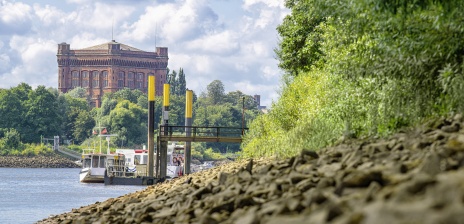
Ferries in Bremen
Cross the Weser and enjoy Bremen's shortest boat ride or set out on a short trip to the beach.
© WFB - Tank
